

Ice Sheet
Images
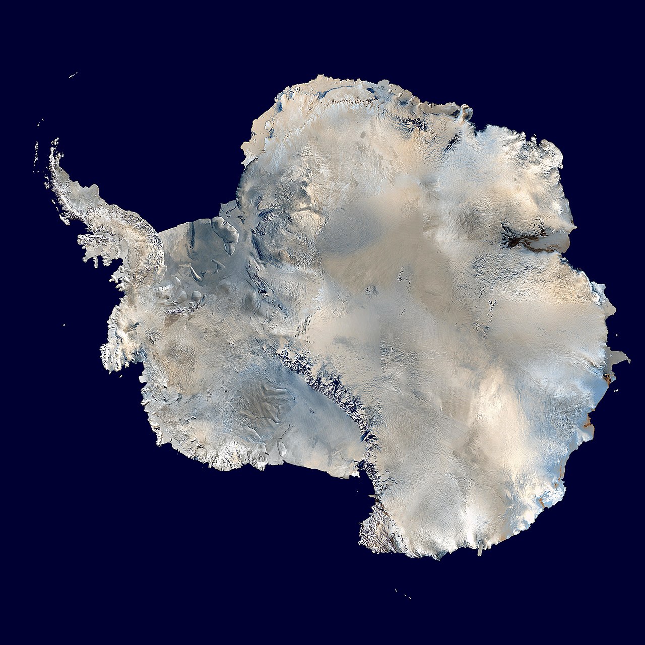
Ice sheet
Defining the Scale
An ice sheet, scientifically termed a continental glacier, represents the largest type of glacier on Earth. Its defining characteristic is its immense size, covering a land area exceeding 50,000 square kilometers. Unlike smaller ice caps or valley glaciers, ice sheets are so vast that they can bury entire landscapes, including mountains and valleys, shaping the underlying topography over millennia.
Their sheer mass exerts significant pressure on the Earth's crust. The only extant ice sheets today are the Antarctic Ice Sheet and the Greenland Ice Sheet, remnants of a colder geological past when such formations were far more extensive and played a dominant role in global geography and climate.
Internal Dynamics
Despite their seemingly static appearance, ice sheets are in perpetual motion. Ice deforms under its own weight and flows gravitationally from the higher central regions (the plateau) towards the lower margins. This outward flow is typically slow, but it can be significantly influenced by basal conditions.
Geothermal heat flux from the Earth's interior warms the ice sheet's base, leading to melting in certain areas. This basal meltwater can reduce friction, lubricating the ice-bed interface and accelerating ice flow. These zones of rapid ice discharge are known as ice streams, which are crucial for understanding the overall mass balance and contribution of ice sheets to sea-level rise.
The surface topography of an ice sheet is generally low-sloping near the center, becoming steeper towards the edges.
Echoes of Past Ice Ages
The geological record reveals that ice sheets have waxed and waned dramatically throughout Earth's history, particularly during glacial periods. At the Last Glacial Maximum, approximately 20,000 years ago, massive ice sheets covered significant portions of the Northern Hemisphere. The Laurentide Ice Sheet dominated North America, extending as far south as the Great Lakes.
Simultaneously, the Weichselian Ice Sheet covered much of Northern Europe, and the Patagonian Ice Sheet blanketed southern South America. The retreat of these ice sheets profoundly reshaped landscapes, creating features like the Great Lakes, fjords, and moraines, and influencing ocean currents and atmospheric circulation patterns.
Climate Change and Ice Sheet Sensitivity
Contemporary ice sheets are highly sensitive to changes in global climate. While direct propagation of surface warming to the bed takes thousands of years, increased atmospheric temperatures have profound indirect effects. Enhanced surface melting leads to the formation of supraglacial lakes.
These lakes can drain through the ice, delivering warmer water to the bed and potentially accelerating ice flow, a process known as hydrofracturing or basal lubrication. This feedback mechanism raises significant concerns about the stability of ice sheets in a warming world and their potential contribution to accelerated sea-level rise, a critical issue for coastal populations and global infrastructure.
Global Significance
Ice sheets are of paramount global significance. They represent the largest reservoirs of fresh water on the planet, holding approximately 90% of all fresh water. Their volume and mass are critical determinants of global sea level; even small changes in their ice mass balance can have substantial impacts.
Furthermore, their high albedo (reflectivity) plays a vital role in regulating Earth's energy balance by reflecting solar radiation back into space. Studying ice sheets provides invaluable insights into past climate conditions through ice core analysis and is essential for projecting future climate scenarios and their consequences, particularly concerning sea-level rise and oceanographic changes.
Go deeper
Frequently Asked Questions
What is an ice sheet?+
Where are the ice sheets that still exist today?+
How do ice sheets move?+
Why are ice sheets important for the planet?+
How did ice sheets shape the land in the past?+
Based on content from Wikipedia · Licensed under CC BY-SA 4.0