

The Mighty Rio Grande!
Images
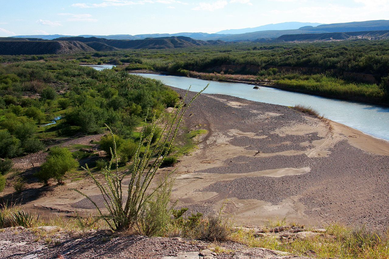
Rio Grande
Geographical Genesis and Hydrological Significance
Originating in the high altitudes of the San Juan Mountains in Colorado, the Rio Grande's initial flow is a product of snowmelt from alpine environments. This pristine beginning contrasts sharply with its eventual journey through arid and semi-arid landscapes across New Mexico and into Texas. Its drainage basin, spanning approximately 182,200 square miles, is a vast territory that collects precipitation and runoff, feeding the river.
However, the inclusion of adjacent endorheic basins expands the total watershed area significantly, highlighting the extensive reach of its hydrological influence. The river's fertile valleys, particularly in New Mexico and along the border, have historically supported agriculture, making it an indispensable resource for seven U.S. and Mexican states. Its transformation from a free-flowing mountain stream to a managed water system underscores its critical role in regional survival and development.
The Rio Grande as an International Frontier
For over 1,200 miles, the Rio Grande serves as the natural demarcation between the United States and Mexico, a geopolitical reality that shapes cross-border relations, trade, and migration. This segment of the river forms the boundary between Texas and the Mexican states of Chihuahua, Coahuila, Nuevo León, and Tamaulipas. Its role as a border is not static; the river's course can shift over time, leading to complex legal and territorial disputes.
The management of this border river is governed by international treaties, such as the 1906 Water Treaty and the 1970 Treaty to Resolve Pending Boundary Differences and Maintain the Rio Grande and Colorado River. These agreements attempt to balance the needs of both nations, though challenges persist.
Human Impact and Water Scarcity
The Rio Grande's journey is profoundly shaped by human intervention, primarily through extensive water consumption for agriculture and urban development. The diversion dams and reservoirs built along its course, coupled with the immense demand for irrigation in regions like the Mesilla and Lower Rio Grande Valleys, have drastically reduced the amount of water reaching the Gulf of Mexico. It is estimated that only about 20 percent of the river's original flow makes it to the sea.
This level of water abstraction leads to significant ecological consequences, including reduced freshwater inflow to the Gulf, impacting coastal ecosystems and fisheries. The river's designation as a Wild and Scenic River for certain stretches in New Mexico and Texas highlights efforts to preserve its natural state, yet the overarching challenge remains balancing human needs with ecological sustainability.
Cultural Significance and Naming Conventions
The Rio Grande is more than just a geographical feature; it is woven into the cultural fabric of the region, recognized by multiple names that reflect its diverse heritage. Known as the Rio Grande in the United States, it is referred to as Río Bravo del Norte in Mexico, a name that conveys its powerful and untamed nature. The indigenous Navajo people have their own designation, Tó Ba'áadi, meaning 'Water that Runs,' underscoring a deep, historical connection to the river.
These varied names highlight the river's multifaceted identity and its importance to different communities and cultures that have interacted with it over centuries, from ancient peoples to modern inhabitants.
Go deeper
Based on content from Wikipedia · Licensed under CC BY-SA 4.0