

Taklamakan Desert
Images
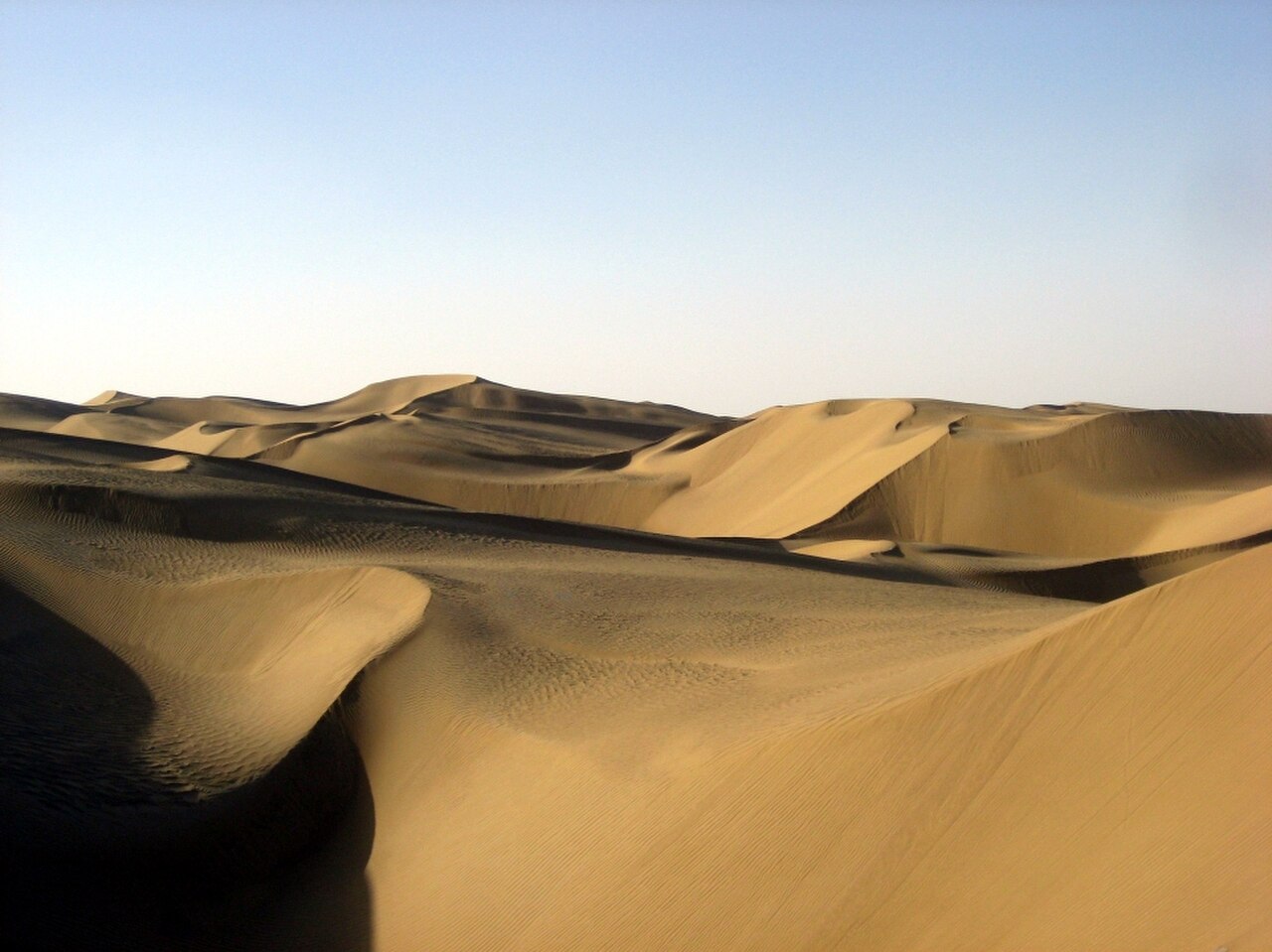
Taklamakan Desert
Geomorphology and Climatic Extremes of the Tarim Basin
The Taklamakan Desert, situated within the immense Tarim Basin in China's Xinjiang Uyghur Autonomous Region, is the world's second-largest sandy desert. Its name, derived from Old Turkic, is often translated as 'place of ruins' or 'sea of death,' reflecting its inhospitable nature. The desert is characterized by vast ergs, or sand seas, featuring towering crescent, linear, and star dunes that can exceed 500 meters in height, making it a dynamic landscape constantly reshaped by prevailing winds.
The basin's topography, surrounded by the Tian Shan, Kunlun, and Pamir mountains, creates a severe continental climate. Summers are intensely hot, with temperatures soaring above 40°C (104°F), while winters are brutally cold, plunging well below -20°C (-4°F), with snow frequently covering the dunes. This extreme temperature fluctuation and extreme aridity, with annual precipitation often less than 40 mm, are defining features of the Taklamakan.
Human Habitation and Adaptation in an Arid Environment
Despite its harsh conditions, the Taklamakan Desert supports a population of approximately 2.5 million people, primarily concentrated in oasis towns along its periphery, such as Kashgar, Hotan, and Korla. These communities, historically and predominantly Uyghur, have developed sophisticated methods of survival and agriculture. They rely on meltwater from surrounding mountain ranges, channeled through ancient irrigation systems, to cultivate crops like cotton, wheat, and fruits.
The Bactrian camel, a two-humped species, remains a vital mode of transport and a symbol of resilience, adapted to store fat reserves and traverse the sandy terrain. The region's biodiversity is sparse but includes specialized flora and fauna capable of enduring extreme aridity and temperature swings.
The Taklamakan's Pivotal Role in the Ancient Silk Road
Historically, the Taklamakan Desert was a critical, albeit perilous, segment of the Silk Road. The routes skirted the desert's northern and southern edges, connecting major trading centers and empires between East Asia and the Mediterranean world. Cities like Dunhuang, on the eastern edge, served as crucial gateways.
The desert's arid climate has acted as a natural preservative, leading to the discovery of remarkably intact archaeological sites, including ancient cities, tombs, and artifacts, such as the Tarim mummies. These discoveries provide invaluable insights into the diverse cultures, languages, and trade practices of the peoples who inhabited and traversed this region over two millennia ago, highlighting its significance as a nexus of cultural exchange.
Modern Economic Significance and Environmental Challenges
In contemporary times, the Taklamakan Desert has emerged as a significant region for hydrocarbon exploration and extraction, with substantial oil and natural gas reserves discovered beneath its sands. This has led to considerable industrial development and infrastructure projects, including pipelines and transportation networks, transforming the region's economic landscape. However, this development, coupled with climate change and unsustainable land use practices, poses environmental challenges. Desertification remains a concern, threatening the fragile ecosystems and agricultural lands on the desert's fringes.
Efforts to combat this include afforestation projects and improved water management strategies, aiming to balance economic growth with environmental preservation in this vast and historically rich desert.
Go deeper
Frequently Asked Questions
What is the Taklamakan Desert?+
Why is it called the "sea of death"?+
How do people survive in the Taklamakan Desert?+
What role did the Taklamakan Desert play in the Silk Road?+
Are there any animals that live in the Taklamakan Desert?+
Based on content from Wikipedia · Licensed under CC BY-SA 4.0