

Stuyvesant Square
Images
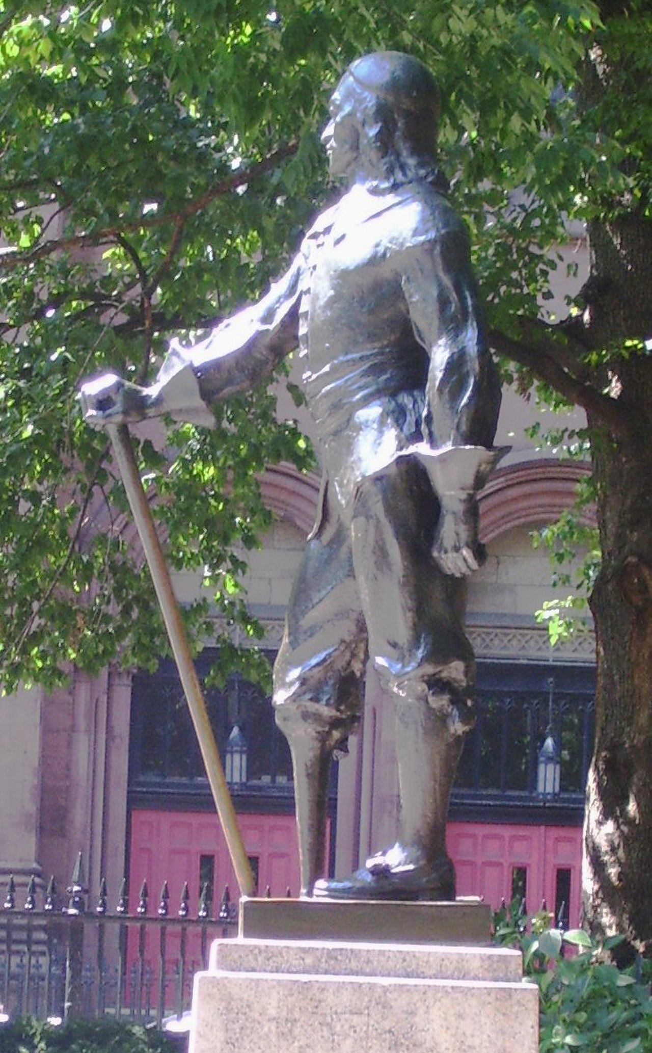
Stuyvesant Square Peter Styvesant statue


Geomorphology and Urban Planning
Stuyvesant Square is a compelling example of how urban planning can shape a landscape, particularly through the division of public space. Geographically, the park is situated in Manhattan, New York City, a densely populated island where land is at a premium. Its defining characteristic is its bisection by Second Avenue, a significant north-south thoroughfare.
This division creates two distinct, yet connected, green spaces, each bordered by original cast-iron fencing that speaks to the park's historical integrity. The park's boundaries are precisely defined by 15th Street, 17th Street, Rutherford Place, and Nathan D. Perlman Place, while the surrounding neighborhood extends roughly from 14th to 19th Streets and First to Third Avenues.
This deliberate division by a major transit artery is not merely a physical separation but also influences pedestrian flow, microclimates within the park, and the perception of the space by residents and visitors alike. The park's existence is a testament to the enduring value placed on green spaces within the urban fabric, even when confronted with the practicalities of city infrastructure.
Historical Trajectory
The genesis of Stuyvesant Square is rooted in the historical development of Manhattan. Originally part of the vast landholdings of the Stuyvesant family, prominent figures in New Amsterdam (later New York), the area underwent a significant transformation from private estate to public amenity. The establishment of the park and its surrounding neighborhood reflects a broader trend in 19th-century urban development, where private land was often ceded or sold for the creation of public parks to enhance the quality of life and property values in developing areas.
The enduring presence of the cast-iron fence is a tangible link to the park's original design and its historical context, serving as a preserved element of its past. The park has thus evolved from a private domain to a vital urban commons, witnessing centuries of New York City's growth, social change, and architectural evolution, all while maintaining its function as a crucial green respite.
Socio-Cultural Dynamics and Community Identity
The Stuyvesant Square neighborhood, while not possessing widely documented unique cultural traditions in the provided source, functions as a microcosm of Manhattan's diverse urban life. The park serves as a critical social space, fostering informal interactions among residents and providing a venue for passive recreation and relaxation. Its division by Second Avenue, while geographically distinct, can also create subtle social divisions or unique community identities within the east and west halves, depending on local usage patterns and resident demographics.
The neighborhood's integration into Manhattan Community Board 6 signifies its participation in the broader civic life of the city, where local issues are addressed and community needs are voiced. The park's continued existence and maintenance are indicative of its importance to the local population, contributing to a sense of place and shared identity within the bustling metropolis.
Governance and Civic Engagement
The governance of Stuyvesant Square and its surrounding neighborhood is managed through the framework of New York City's local government, specifically under Manhattan Community Board 6. Community Boards are integral to the city's decentralized system, acting as advisory bodies composed of local residents appointed by the Borough President. Their mandate is to provide input on a wide range of local issues, including land use, zoning, public safety, and the maintenance of public spaces like Stuyvesant Square.
This ensures that the specific needs and concerns of the neighborhood are communicated to city agencies and elected officials. For Stuyvesant Square, Community Board 6 plays a vital role in advocating for park improvements, addressing any potential development impacts, and ensuring the park remains a well-maintained and accessible resource for its constituents, thereby fostering civic engagement and local stewardship.
Urban Ecology and Preservation Challenges
Stuyvesant Square, despite its urban setting, represents a small but significant pocket of urban ecology. The trees and plant life within the park contribute to the city's biodiversity, offer shade, and help mitigate the urban heat island effect. However, maintaining such green spaces in a dense urban environment presents ongoing challenges.
Factors such as pollution, foot traffic, and the constant pressure for development require dedicated preservation efforts. The original cast-iron fence is not just an aesthetic feature but a historical artifact that requires specialized maintenance. The division by Second Avenue, while a defining characteristic, also means that each half of the park must be managed independently to some extent, potentially impacting resource allocation and maintenance strategies.
The long-term viability of Stuyvesant Square as a thriving green space depends on continued investment and a commitment to urban conservation principles.
See also
Frequently Asked Questions
What is Stuyvesant Square?+
Why is the park split by a road?+
Where is Stuyvesant Square located?+
How did the park become public?+
Who takes care of the park?+
Based on content from Wikipedia · Licensed under CC BY-SA 4.0