

Jacques-Cartier River
Images
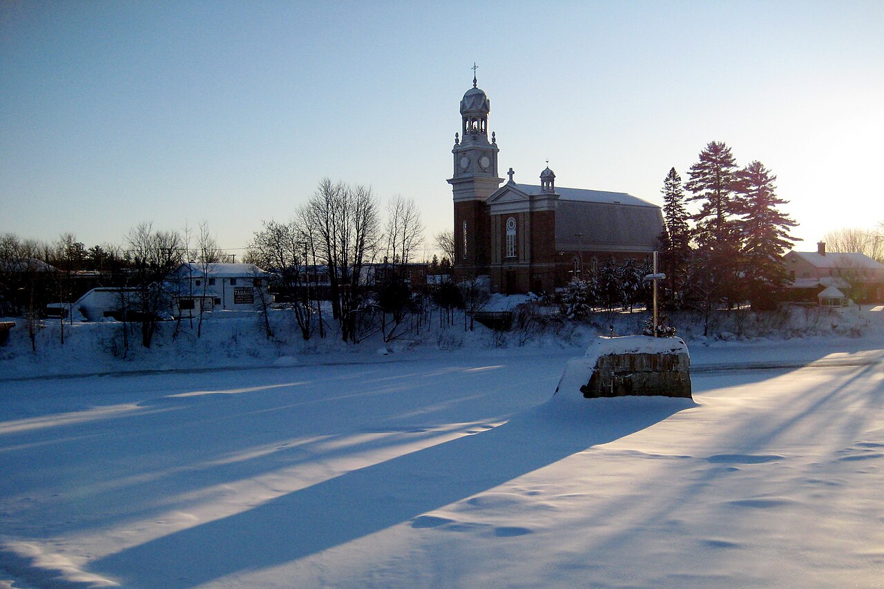
SCJC 2008-12-13


Geomorphological Journey and Hydrological Characteristics
The Jacques-Cartier River is a significant fluvial system within the province of Quebec, Canada, spanning a considerable length of 161 kilometers. Its headwaters originate in the Laurentides Wildlife Reserve at Jacques-Cartier Lake, a location situated in the Canadian Shield's rugged terrain. The river's trajectory is predominantly southward, a course dictated by the regional topography and geological formations.
It ultimately converges with the Saint Lawrence River, a major North American waterway, at Donnacona, approximately 30 kilometers upstream from Quebec City. This confluence is a critical point in the regional watershed, influencing water flow and sediment transport. The river's drainage basin encompasses a diverse landscape, from boreal forests to agricultural lowlands, each contributing to its hydrological regime and ecological characteristics.
Understanding its path from source to mouth reveals the intricate connection between geography and water systems.
Seasonal Dynamics
The Jacques-Cartier River exhibits pronounced seasonal variations, a defining characteristic of its northern climate. Typically, the river's surface begins to freeze in early December, a process that continues until late March. During this period, large sections become ice-covered, effectively halting open-water flow.
While the river is frozen for approximately four months, the window for safe circulation on the ice generally spans from late December to early March. This annual freeze-thaw cycle significantly impacts the river's ecosystem, affecting aquatic life, riparian vegetation, and the geomorphological processes of erosion and deposition. The transition from a frozen state to a flowing river in spring also triggers important ecological events, such as spawning migrations and nutrient cycling.
Economic Pillars and Recreational Value
The economic landscape surrounding the Jacques-Cartier River is multifaceted, with several key industries contributing to regional development. Historically, forestry has been the dominant economic activity, leveraging the extensive forest cover within its watershed for timber and pulp production. More recently, recreational tourism has emerged as a significant sector, capitalizing on the river's scenic beauty and opportunities for outdoor pursuits such as fishing, kayaking, and hiking in adjacent protected areas like the Jacques-Cartier National Park.
Further downstream, particularly in the lower reaches where the terrain is more amenable to cultivation, agricultural activities form a third important economic pillar. This diversification demonstrates the river's capacity to support a range of human endeavors, from resource extraction to leisure and food production.
The Pursuit of Heritage Status
The Jacques-Cartier River is currently under nomination for Canadian Heritage River status, a testament to its profound natural and cultural significance. This designation is part of a national program that recognizes and protects rivers that are outstanding examples of Canada's heritage. The nomination process involves a thorough evaluation of the river's ecological integrity, its historical importance, and its recreational potential.
Achieving this status would underscore the river's value as a national treasure, promoting its conservation and ensuring its protection for future generations. It highlights a growing awareness of the importance of preserving such vital natural landscapes and their associated cultural narratives for both ecological and societal well-being.
See also
Frequently Asked Questions
What is the Jacques-Cartier River and where does it start?+
Why does the river freeze in winter?+
How can people use the river during the year?+
Where does the river meet the Saint Lawrence River?+
Why is the river being considered for Canadian Heritage River status?+
Based on content from Wikipedia · Licensed under CC BY-SA 4.0