

Cartography: The Art of Map Making!
Images
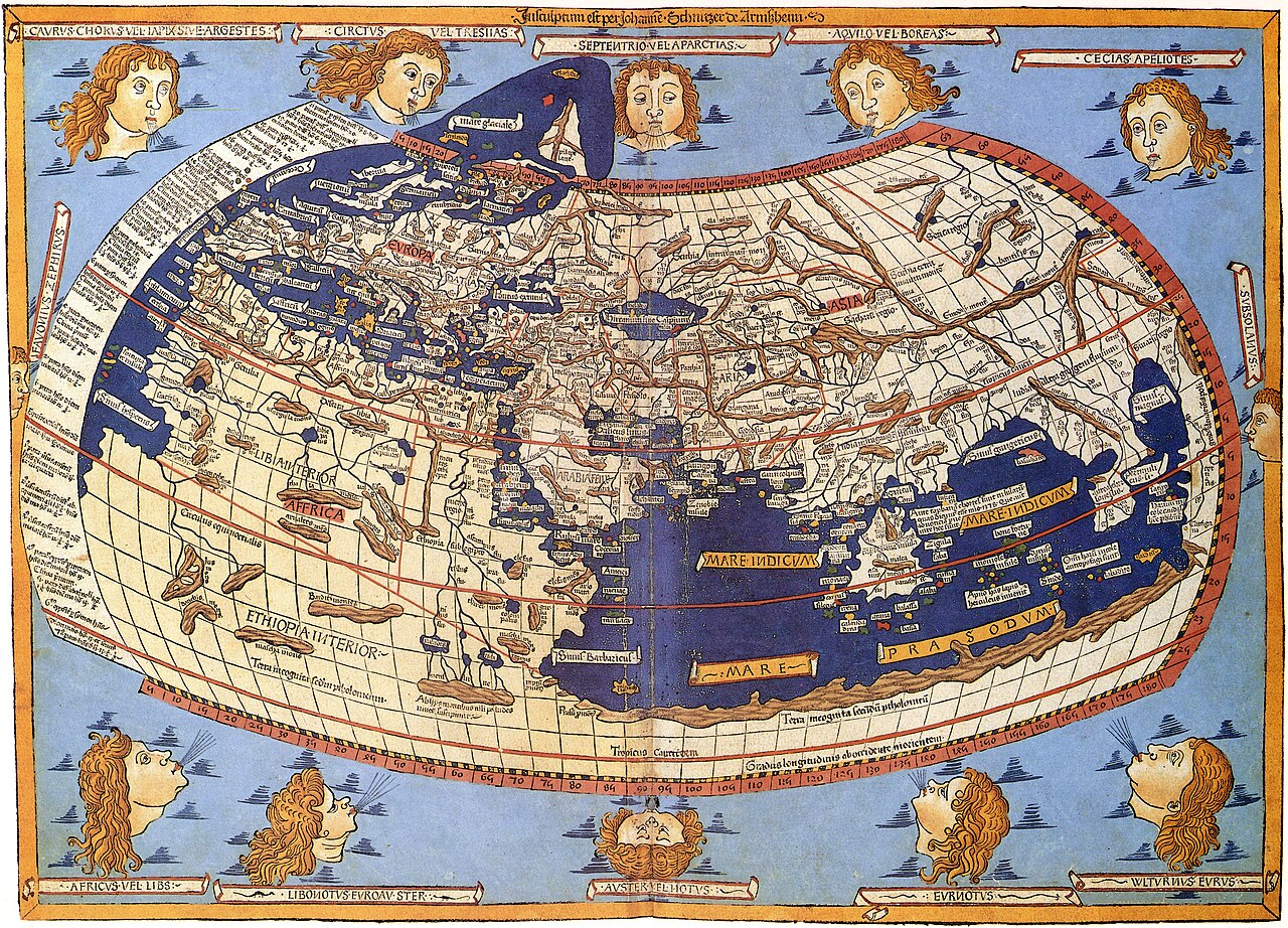
Cartography


The Foundational Principles of Cartographic Representation
Cartography, at its core, is the discipline concerned with the conception, production, and study of maps. It operates on the fundamental premise that reality, or a conceptualized version of it, can be modeled to effectively communicate spatial information. Traditional cartography involves several key objectives. Map editing focuses on defining the map's purpose and selecting relevant features, whether they are physical (like coastlines or roads) or abstract (like political boundaries or place names). Map projection is the critical challenge of translating the three-dimensional, spherical Earth onto a two-dimensional plane, a process that inevitably involves some degree of distortion.
Generalization is the art of simplification, where irrelevant details are omitted and complex features are reduced to their essential characteristics to maintain clarity and readability. Finally, map design orchestrates all these elements-symbols, colors, typography, and layout-to convey the map's message effectively to its intended audience.
A Historical Trajectory
The practice of mapping stretches back millennia, with early examples like the Babylonian Map of the World (circa 600 BCE) revealing a sophisticated understanding of spatial relationships for their time. Ancient Greek scholars, such as Eratosthenes, pioneered mathematical approaches to geography and mapmaking, even calculating the Earth's circumference. During the medieval period, maps often served religious or symbolic purposes, but the Renaissance and the subsequent Age of Exploration spurred a demand for accurate navigational charts.
This era saw significant advancements in projection techniques and the collection of more precise data. The 19th and 20th centuries brought about standardization and the rise of national mapping agencies. Today, cartography is inextricably linked with digital technologies, including remote sensing, GPS, and Geographic Information Systems (GIS), transforming how maps are created, accessed, and utilized.
The Interplay of Science, Art, and Technology
Modern cartography is a multidisciplinary field that seamlessly integrates scientific rigor with artistic sensibility and technological innovation. Scientifically, it relies on geodesy, surveying, and data analysis to ensure accuracy. The choice of map projection, for instance, is a scientific decision based on the map's intended use and the geographic area it covers, each projection having specific strengths and weaknesses regarding shape, area, distance, or direction preservation.
Aesthetically, cartographers employ principles of visual design to create maps that are not only informative but also engaging and intuitive. This includes thoughtful symbolization, color theory, and typography. Technologically, the advent of GIS and spatial data infrastructure has revolutionized cartography, enabling dynamic, interactive, and data-rich maps that can be constantly updated and analyzed, moving beyond static representations to become powerful tools for decision-making and problem-solving.
Cartography's Enduring Relevance in the Digital Age
Far from being obsolete, cartography is more vital than ever in our increasingly interconnected and data-driven world. It forms the bedrock of Geographic Information Science (GISc) and Geographic Information Systems (GIS), which are indispensable tools across numerous sectors. Urban planning, environmental management, disaster response, public health, transportation logistics, and even marketing all rely heavily on spatial analysis and visualization facilitated by cartographic principles.
The ability to understand and interpret spatial data is a critical skill for navigating complex global challenges, from climate change impacts to resource allocation. Furthermore, cartography continues to evolve, with emerging areas like web mapping, volunteered geographic information (VGI), and augmented reality maps pushing the boundaries of how we interact with and understand geographic information.
Go deeper
Frequently Asked Questions
What is cartography?+
Why do cartographers simplify maps?+
How do cartographers turn the round Earth into a flat map?+
When did people first start making maps?+
What tools do modern cartographers use?+
Based on content from Wikipedia · Licensed under CC BY-SA 4.0