

The Giant North China Plain!
Images
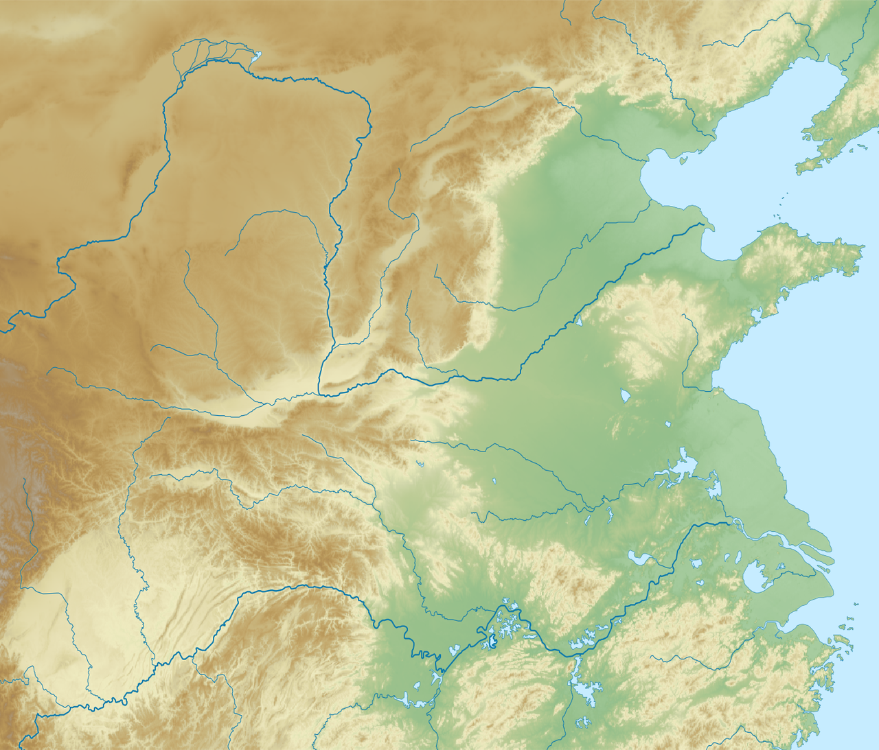
North China Plain
Geomorphology and Hydrology
The North China Plain is a colossal alluvial plain, one of the largest in the world, formed by the deposition of vast quantities of sediment carried by the Yellow River (Huang He) and its tributaries, primarily the Fen, Wei, and Hai rivers. This geological process, spanning millennia, has created an exceptionally flat topography with elevations rarely exceeding 100 meters. The soil composition, rich in loess, is highly fertile, making it ideal for intensive agriculture.
However, the Yellow River's historical tendency to shift its course and cause devastating floods has profoundly shaped human settlement patterns and the region's development, necessitating complex water management systems throughout history. The plain's hydrological characteristics, including its susceptibility to drought and flood, remain critical factors influencing its present-day economy and environment.
The Cradle of Chinese Civilization
The North China Plain is widely recognized as the birthplace of Chinese civilization. Archaeological evidence points to this region as the locus for the development of early Neolithic cultures, such as the Yangshao and Longshan cultures, which laid the groundwork for subsequent dynasties. The Shang Dynasty (c. 1600–1046 BCE), with its capital at Anyang, and the Zhou Dynasty (c. 1046–256 BCE), which originated in the western part of the plain, established foundational political, social, and cultural structures that would influence China for millennia.
The plain's agricultural productivity supported these early states, enabling population growth and the development of complex social hierarchies, writing systems, and philosophical traditions like Confucianism and Taoism, which continue to resonate globally.
Agricultural Powerhouse and Demographic Epicenter
As one of China's primary agricultural regions, the North China Plain is indispensable to the nation's food security. It is the leading producer of winter wheat and corn in the country, alongside significant cultivation of cotton and oilseeds. This agricultural capacity has historically sustained one of the world's largest and most concentrated populations.
Major metropolises such as Beijing, the national capital, and Tianjin, a key port city, are situated on or adjacent to the plain, serving as vital economic, political, and cultural hubs. The sheer density of population presents ongoing challenges related to resource management, urbanization, and environmental sustainability, making the plain a microcosm of China's broader development trajectory.
Modern Challenges and Enduring Significance
In contemporary times, the North China Plain faces multifaceted challenges. Over-extraction of groundwater has led to significant land subsidence and water scarcity, impacting agricultural output and urban water supplies. Industrialization and urbanization have also contributed to environmental pressures, including air and water pollution. Despite these issues, the plain's strategic importance remains undiminished.
It continues to be a critical engine for China's economy, a repository of invaluable historical and cultural heritage, and a dynamic landscape where ancient traditions intersect with modern development. The ongoing efforts to balance agricultural needs, urban growth, and environmental protection highlight the enduring significance of this foundational region.
Interconnected Systems
The North China Plain exemplifies the intricate interplay between natural geography and human society. The alluvial deposits from the Yellow River create fertile soil, enabling a robust agricultural sector that has supported dense populations for thousands of years. This demographic concentration, in turn, has driven the development of complex urban centers and sophisticated governance structures.
The historical management of the Yellow River's floods and droughts has been a continuous struggle, fostering innovation in engineering and administration. Today, the challenges of water scarcity and environmental degradation underscore the delicate balance required to sustain this vital region, demonstrating how deeply intertwined the natural environment and human civilization are.
Go deeper
Frequently Asked Questions
What makes the North China Plain so flat and fertile?+
Why has the Yellow River caused floods in the North China Plain?+
Which ancient cultures grew on the North China Plain?+
Which big cities are located on the North China Plain?+
What environmental problems does the North China Plain face today?+
Based on content from Wikipedia · Licensed under CC BY-SA 4.0