

Atlas
Images

Atlas


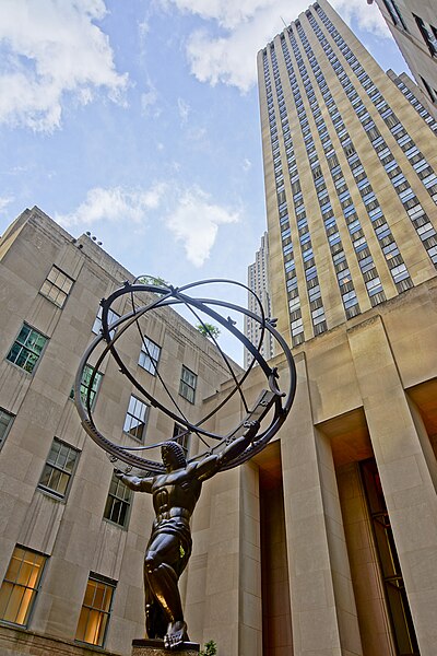


The Genesis and Evolution of the Atlas
The atlas, as a systematic compilation of maps, represents a pivotal development in the history of cartography and knowledge dissemination. While mapmaking traditions existed for millennia, the concept of a bound collection, akin to a modern atlas, solidified in the 16th century. Gerardus Mercator's influential work, published posthumously around 1570, is often cited as a foundational example, though earlier collections existed. These early atlases were not merely geographical inventories; they were sophisticated syntheses of contemporary exploration, scientific understanding, and political representation.
They served critical functions in navigation, administration, and the burgeoning field of scientific inquiry. The subsequent centuries saw atlases grow in scope and detail, incorporating new discoveries, thematic data (like geology or demographics), and evolving printing technologies. The transition from hand-drawn maps to mass-produced printed volumes democratized access to geographical knowledge, profoundly influencing exploration, trade, and warfare.
The 20th century brought further advancements with aerial photography and satellite imagery, enhancing the accuracy and detail of maps. Today, the digital revolution has transformed the atlas yet again, moving from static print to dynamic, interactive, and multimedia formats that integrate vast datasets and real-time information.
Cartographic Narratives
Modern atlases transcend simple locational reference, functioning as powerful tools for data visualization and analysis. Beyond depicting physical geography-mountains, rivers, coastlines-and political divisions-borders, capitals, cities-they often integrate a wealth of socio-economic, demographic, and environmental statistics. This allows users to explore complex relationships, such as correlating population density with resource distribution, or mapping the spread of languages and cultural influences.
Thematic atlases, in particular, focus on specific subjects, presenting data on climate patterns, geological formations, historical migrations, or economic activities. These specialized collections are invaluable for researchers, policymakers, and educators, providing a visual framework for understanding intricate global systems. The selection and presentation of data within an atlas are inherently interpretive, reflecting the knowledge, biases, and priorities of its creators, thus offering a narrative about the world as much as a depiction of it.
Extending the Cartographic Horizon
The impulse to map and organize spatial information is not confined to Earth. The field of astronomy has produced its own sophisticated atlases, charting the celestial sphere. These works, often referred to as star atlases or celestial atlases, meticulously document the positions and magnitudes of stars, nebulae, galaxies, and other astronomical objects.
They are indispensable for astronomers, enabling precise identification, observation planning, and the tracking of celestial motion. Early celestial atlases were crucial for navigation at sea, using star positions to determine latitude. With the advent of space exploration, the concept of the atlas has expanded further to include maps of other planets and celestial bodies within our solar system.
Based on data from probes and telescopes, these planetary atlases provide detailed topographical maps of Mars, the Moon, and other worlds, revealing their geological histories and potential for future study or exploration. This demonstrates the universal applicability of cartographic principles.
The Enduring Relevance of the Atlas in the Age of GIS
Despite the ubiquity of GPS and Geographic Information Systems (GIS), the atlas retains significant value. While GPS excels at real-time navigation and route finding, atlases provide essential context, historical perspective, and a comprehensive overview that digital tools may not readily offer. They foster a deeper understanding of spatial relationships, global patterns, and the interconnectedness of diverse phenomena.
For educational purposes, atlases remain fundamental pedagogical instruments, building foundational spatial literacy and geographical knowledge. They encourage critical thinking about data representation and interpretation. In professional fields, atlases continue to be vital resources for planning, research, and analysis, often serving as the starting point for more complex GIS investigations.
The ability to synthesize and present vast amounts of spatial data in an accessible format ensures that the atlas, in its various forms-from the traditional bound volume to interactive digital platforms-will remain a cornerstone of human understanding of space and place.
The Atlas as a Data Visualization Nexus
The creation and use of atlases are intrinsically linked to the principles of data visualization. An atlas is not merely a collection of maps but a carefully curated presentation of spatial data, designed to convey information effectively. The choice of projection, scale, symbology, and the integration of thematic layers all contribute to how effectively the atlas communicates its message.
In an era increasingly defined by big data, the skills involved in designing and interpreting atlases are highly relevant. Understanding how to represent complex datasets spatially-whether population demographics, climate change indicators, or economic flows-is crucial across numerous disciplines, from urban planning and environmental science to public health and international relations. Digital atlases further amplify this, allowing for dynamic data exploration, interactive querying, and the integration of multiple data sources.
They serve as powerful interfaces for engaging with and understanding the complex spatial dimensions of our world and beyond, underscoring the atlas's role as a dynamic nexus of information.
See also
Frequently Asked Questions
What is an atlas?+
How did atlases change over time?+
Why are atlases useful for learning?+
Where can we find star atlases?+
Are there atlases for other planets?+
Based on content from Wikipedia · Licensed under CC BY-SA 4.0