
Topographic map
Images

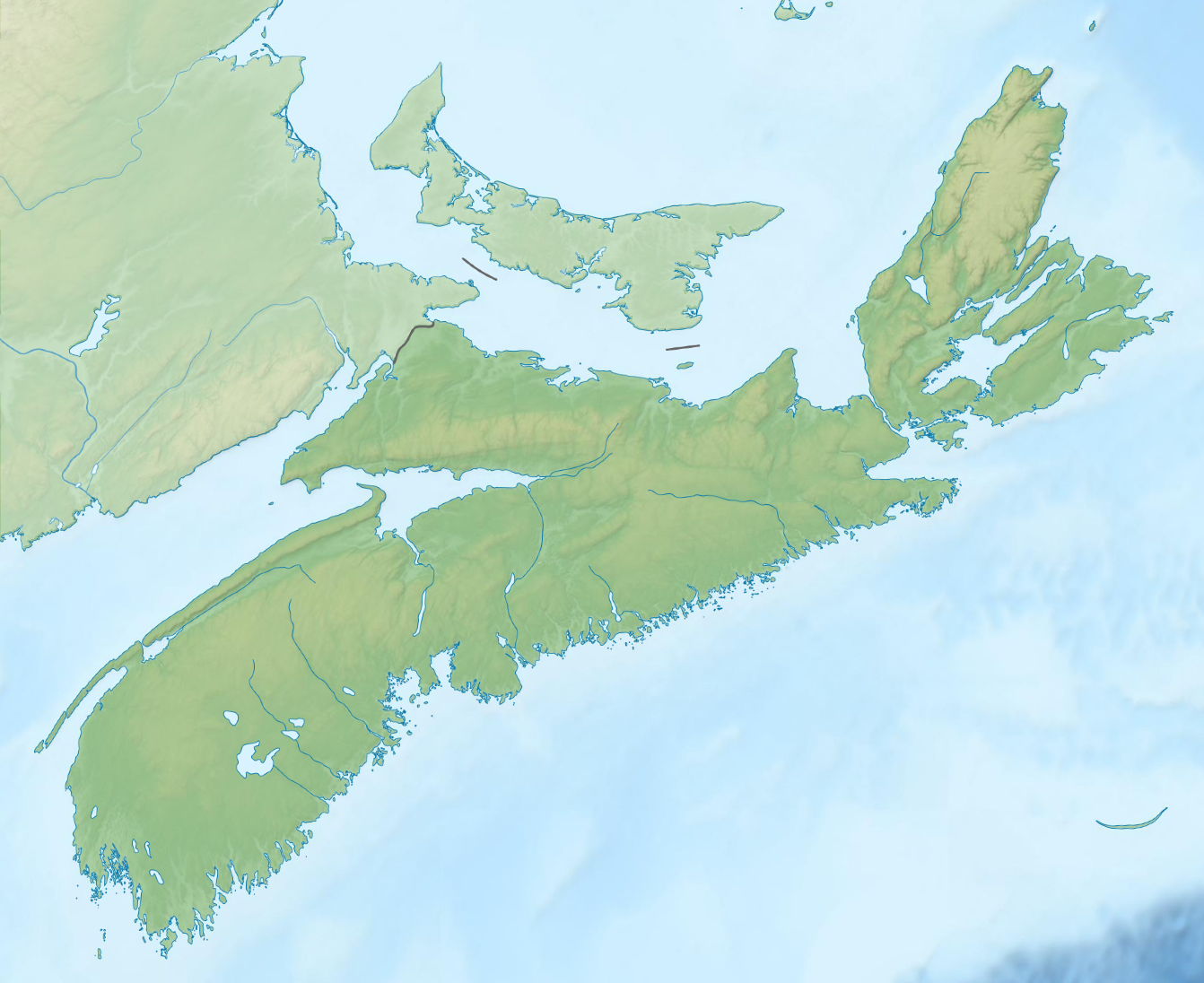
Topographic map of Tohoku, Japan


Key Facts
Your Map's Secret Superpowers!
Topographic maps are like super-detectives for the land! They don't just show you roads and buildings; they also show you how high or low the ground is. Think of it like drawing a picture of a mountain's wrinkles or a valley's smile.
They use special lines called contour lines to do this. These lines connect all the spots that are the exact same height above the sea. So, if you see lines close together, it means the land is super steep, like climbing a tall slide!
If the lines are far apart, the ground is nice and flat, perfect for a picnic.
How Maps Learned to See Hills!
Long, long ago, people didn't have fancy computers to make maps. They had to go out and measure everything themselves! Imagine walking around with a big stick and a string, trying to figure out how high everything was.
It took a lot of hard work and careful looking. Over time, people got better at drawing these special lines, called contour lines, to show the shape of the land. These maps were super important for building things like roads and finding the best places to live.
They helped people understand the world around them in a whole new way.
What's On Your Map Adventure?
These maps are packed with amazing details! Besides showing you hills and valleys, they also show you where the water is, like rivers, lakes, and even the ocean. They can show you forests, where trees grow thick and tall.
And they don't forget about things people build, like houses, schools, and train tracks. So, a topographic map can tell you if you're about to walk up a steep hill, cross a river, or go through a big forest. It's like having a guide that knows all the secrets of the land!
Why Maps Are Your Best Friend!
Topographic maps are super useful for all sorts of adventures. If you want to go hiking, they help you pick a trail that's not too hard. If you're building a fort, they can show you the best spot that's flat and safe.
They are also used by scientists to study the Earth and by people who plan cities. Knowing how to read a topographic map is like having a secret code to understand the world's shape. It helps you explore safely and discover new things about the places you visit!
Based on content from Wikipedia · Licensed under CC BY-SA 4.0