
Sierra Crest
Images

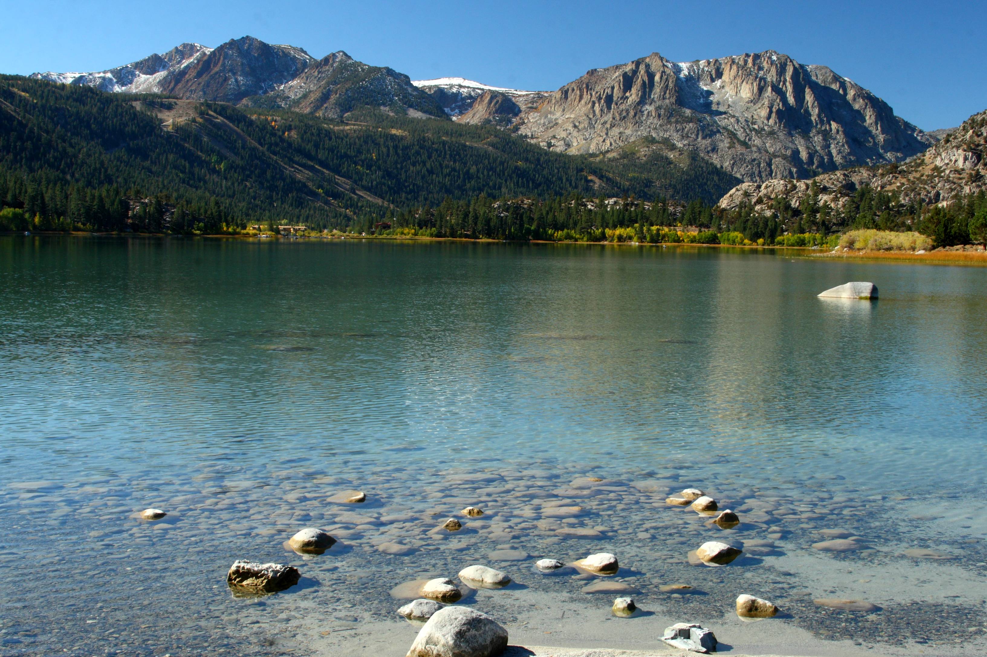
_IGP7545.PEF Southern Sierra Crest and McKenzie Table


Key Facts
Meet the Mountain's Backbone!
The Sierra Crest is like a super-duper long spine for the Sierra Nevada mountains. It stretches for about 500 miles, which is longer than driving from your house to grandma's house many, many times! This ridge is so important because it separates the wide, gentle slopes on one side from the steep, narrow slopes on the other.
It's like the mountain's way of saying, 'This side is different from that side!'
A Trail for Explorers!
Long ago, a brave explorer named Theodore Solomons wanted to find a special path along the very top of these mountains. He dreamed of a trail that followed the highest parts, and he helped create what is now called the John Muir Trail. This amazing path goes all the way from Yosemite Valley to Mount Whitney, the tallest peak in California!
It's a path for hikers and adventurers to see the most incredible views.
Where the Water Goes!
The Sierra Crest is also like a giant divider for water. On one side, water flows down the wide, western slopes, maybe towards the ocean. On the other side, water flows down the steep, eastern slopes. Sometimes, the crest even splits into two paths to go around special bowl-shaped valleys called cirques, like a little detour around a hidden playground!
A Line on the Map!
This mountain ridge is so big that it helps mark the edges of different places. In the north, it's the line that separates water going into the Great Basin from water going elsewhere. Further south, it's the border between counties, like invisible lines on a map showing where one town ends and another begins. It's a natural border that helps people know where they are.
Based on content from Wikipedia · Licensed under CC BY-SA 4.0