

Remote Sensing: Seeing From Afar!
Images
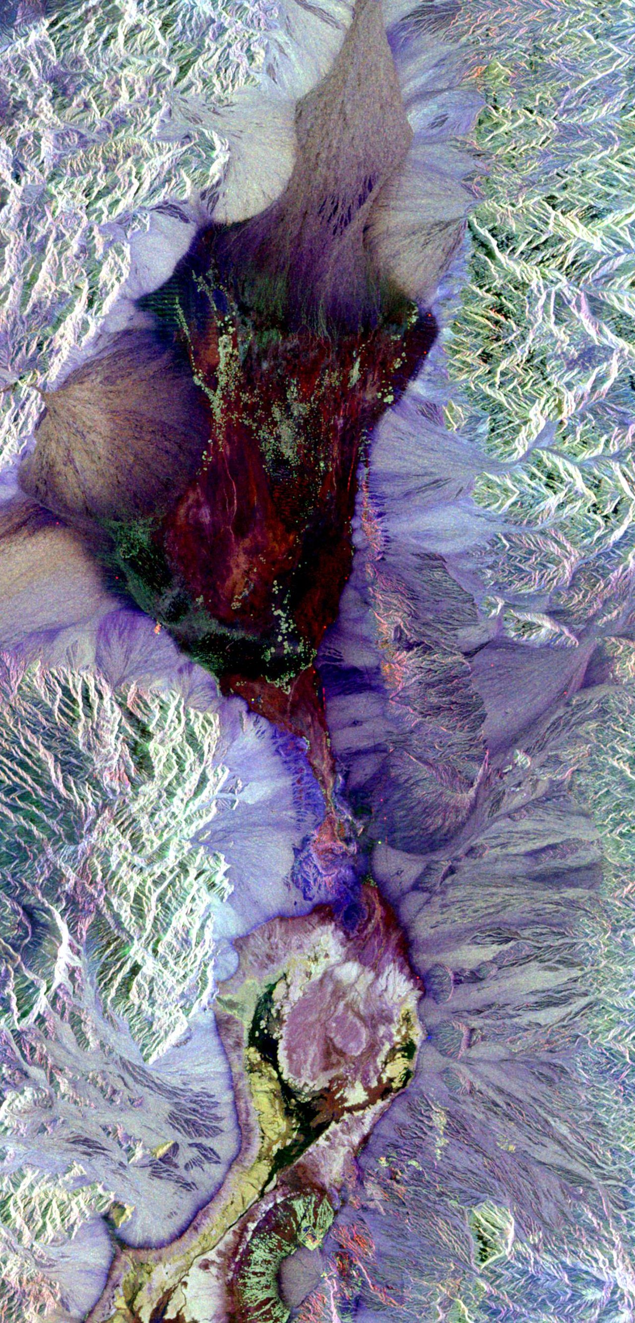
Remote sensing
The Foundational Principles of Remote Sensing
Remote sensing is fundamentally about acquiring information about an object or phenomenon without direct physical contact. This is achieved by detecting and measuring electromagnetic radiation that is reflected or emitted from the target. The process begins with an energy source, typically the sun for passive remote sensing or a transmitter on the sensor for active remote sensing.
This energy interacts with the Earth's surface, undergoing processes like reflection, absorption, and emission. Different materials possess unique spectral properties, meaning they interact with electromagnetic radiation in distinct ways across various wavelengths. Sensors, mounted on platforms such as satellites, aircraft, or drones, capture this radiated energy.
The captured data is then processed and analyzed, often using sophisticated algorithms and spectral libraries, to identify features, classify land cover, and monitor changes over time. Understanding these interactions is key to interpreting the vast datasets generated.
Evolution of Earth Observation
The concept of remote sensing has evolved dramatically over centuries. Early forms date back to balloon photography in the mid-19th century, offering rudimentary aerial perspectives. The advent of aerial photography during World War I and II revolutionized reconnaissance and mapping.
The post-war era saw the development of airborne sensors and the dawn of the space age. The launch of Sputnik in 1957 marked the beginning of satellite-based observation. Key milestones include the TIROS program, the first weather satellite, and the Landsat program, initiated in 1972, which has provided an unparalleled continuous record of Earth's land surface for over five decades.
More recent advancements include the proliferation of high-resolution satellite imagery, the development of synthetic aperture radar (SAR) for all-weather imaging, and the increasing use of drones for localized, high-frequency data acquisition. This progression reflects a continuous drive for higher resolution, broader spectral coverage, and more frequent revisits.
The Indispensable Role of Remote Sensing in Global Stewardship
Remote sensing is critical for addressing many of the most pressing global challenges. In environmental science, it provides essential data for climate change research, enabling the monitoring of ice melt, sea-level rise, and greenhouse gas concentrations. It is vital for biodiversity conservation, helping to map habitats, track endangered species, and monitor deforestation and land degradation.
For disaster management, satellite imagery offers rapid assessment of damage from floods, earthquakes, and wildfires, aiding response and recovery efforts. In agriculture, precision farming techniques leverage remote sensing data for optimized irrigation, fertilization, and yield prediction, contributing to food security. Furthermore, it supports resource management, from tracking water resources and mineral exploration to monitoring urban sprawl and infrastructure development.
Its global, synoptic, and repetitive nature makes it uniquely suited for understanding complex Earth systems and informing sustainable development policies.
Mechanisms and Technologies
The core of remote sensing lies in its sensors, which are designed to detect and record electromagnetic radiation. These sensors can be broadly categorized as passive, relying on natural energy sources like the sun, or active, emitting their own energy and measuring the return signal. Passive sensors include cameras, radiometers, and spectrometers, capturing reflected sunlight or emitted thermal radiation.
Active sensors, such as radar and LiDAR, provide their own illumination, allowing for measurements independent of solar illumination and enabling penetration of clouds or darkness. Different sensor types capture data in specific parts of the electromagnetic spectrum. Multispectral sensors capture data in several broad bands, while hyperspectral sensors acquire data in hundreds of narrow, contiguous bands, providing highly detailed spectral information.
The choice of sensor and spectral range depends on the specific application, whether it's identifying vegetation types, measuring surface temperature, or mapping terrain elevation.
Diverse Applications
The applications of remote sensing are remarkably diverse and continue to expand. In climatology, satellite altimetry measures ocean surface height, contributing to our understanding of ocean circulation and sea-level rise. Atmospheric sounders monitor temperature and humidity profiles, crucial for weather forecasting and climate modeling.
Geologists use radar interferometry to detect subtle ground deformation, indicating seismic activity or volcanic unrest. Oceanographers employ remote sensing to monitor sea surface temperature, chlorophyll concentrations (indicating phytoplankton blooms), and ocean currents. Urban planners utilize high-resolution imagery to monitor land-use change, assess urban heat islands, and plan infrastructure development.
Even in archaeology, remote sensing techniques like LiDAR can reveal hidden structures beneath dense vegetation. The integration of remote sensing data with Geographic Information Systems (GIS) allows for complex spatial analysis, enabling informed decision-making across numerous scientific and societal domains.
Go deeper
Frequently Asked Questions
What is remote sensing?+
How do satellites take pictures of the Earth?+
Why do scientists use remote sensing to help the planet?+
What are some cool tools used in remote sensing?+
How can farmers use remote sensing?+
Based on content from Wikipedia · Licensed under CC BY-SA 4.0