
Orange Free State
Images

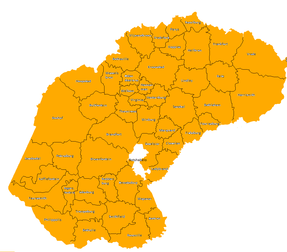
Locator map of Orange Free State Province as of 1 March 1994


Key Facts
Meet the Orange Free State!
Once upon a time, there was a land called the Orange Free State. It was like a special club that was its own country, not part of any other! It was tucked between two big rivers, the Orange River and the Vaal River.
Think of them like giant blue ribbons marking the edges of a map. This land was a republic, which means the people there got to choose their leaders, kind of like how you might choose a class president!
Where Did This Land Come From?
People who loved their own way of life, called Boers, wanted their own country. They moved to this land between the rivers. For a while, the British Empire watched over it, but the Boers wanted to be completely independent.
So, in 1854, they signed a special paper called the Orange River Convention, and poof! The Orange Free State became its own country. It was like finally getting your own treehouse where you make all the rules.
A River's Special Name
The country got its name from the Orange River. A brave explorer named Robert Jacob Gordon named it after a royal family in the Netherlands called the House of Orange. It's like naming your pet after your favorite superhero! The official language spoken there was Dutch, which is a bit like how some schools teach different languages today.
What Happened to This Land?
The Orange Free State was a country for many years, but then there was a big war called the Second Boer War. Sadly, the Orange Free State lost this war to the powerful British Empire in 1902. It became a part of the British lands, and later, it joined with other places to become the country of South Africa that we know today. But its story is still remembered!
Based on content from Wikipedia · Licensed under CC BY-SA 4.0