
Nova Scotia
Images
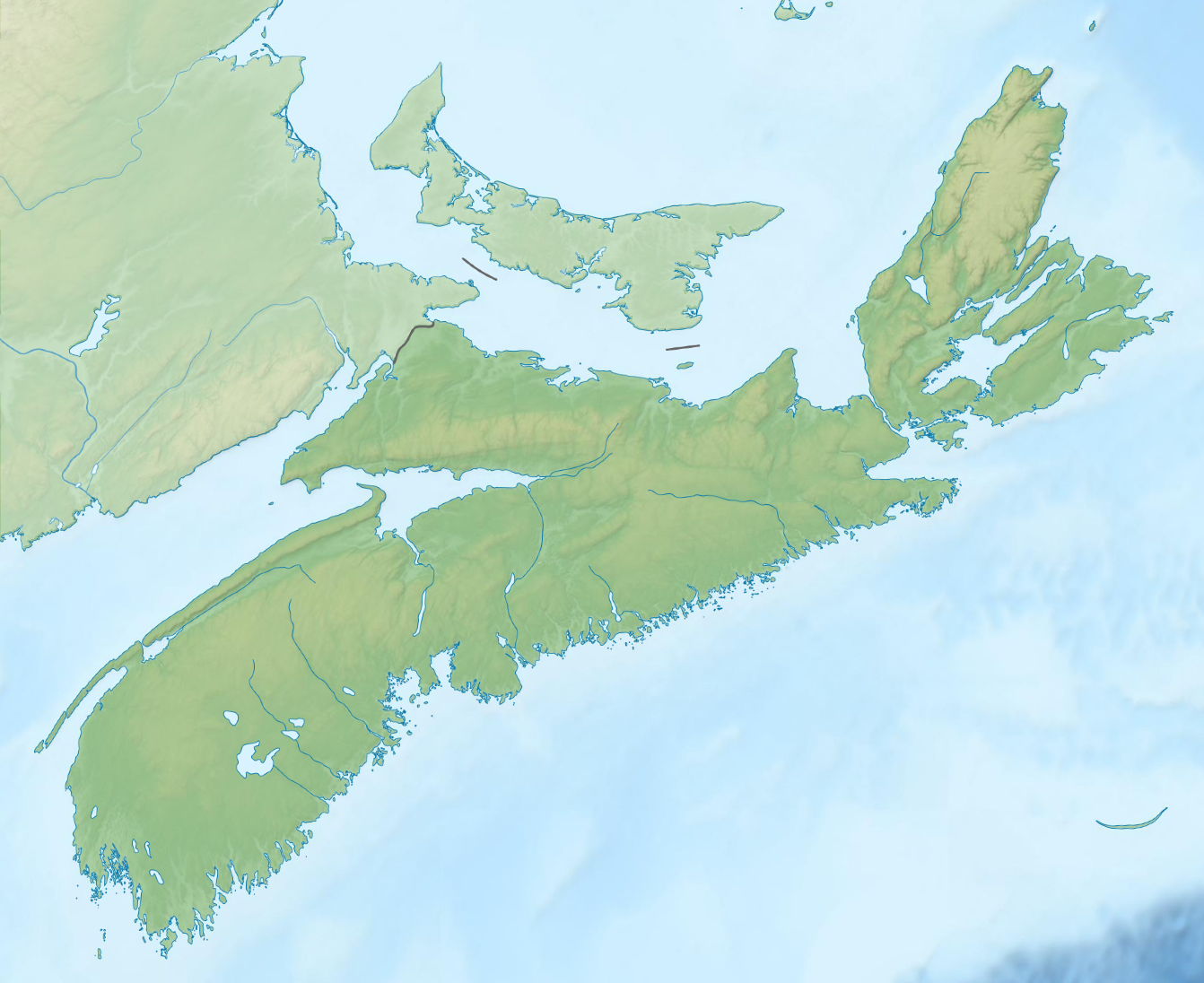
Nova Scotia topographic map


Key Facts
Where is This Cool Place?
Imagine a Canadian province that looks like a dragon's head sticking out into the ocean! That's Nova Scotia! It's on the east coast of Canada, like a big arm reaching out to the Atlantic Ocean.
Most of Nova Scotia is a long peninsula, but it also has a big island called Cape Breton Island and lots of other smaller islands. It's connected to the rest of Canada by a tiny strip of land, like a little bridge.
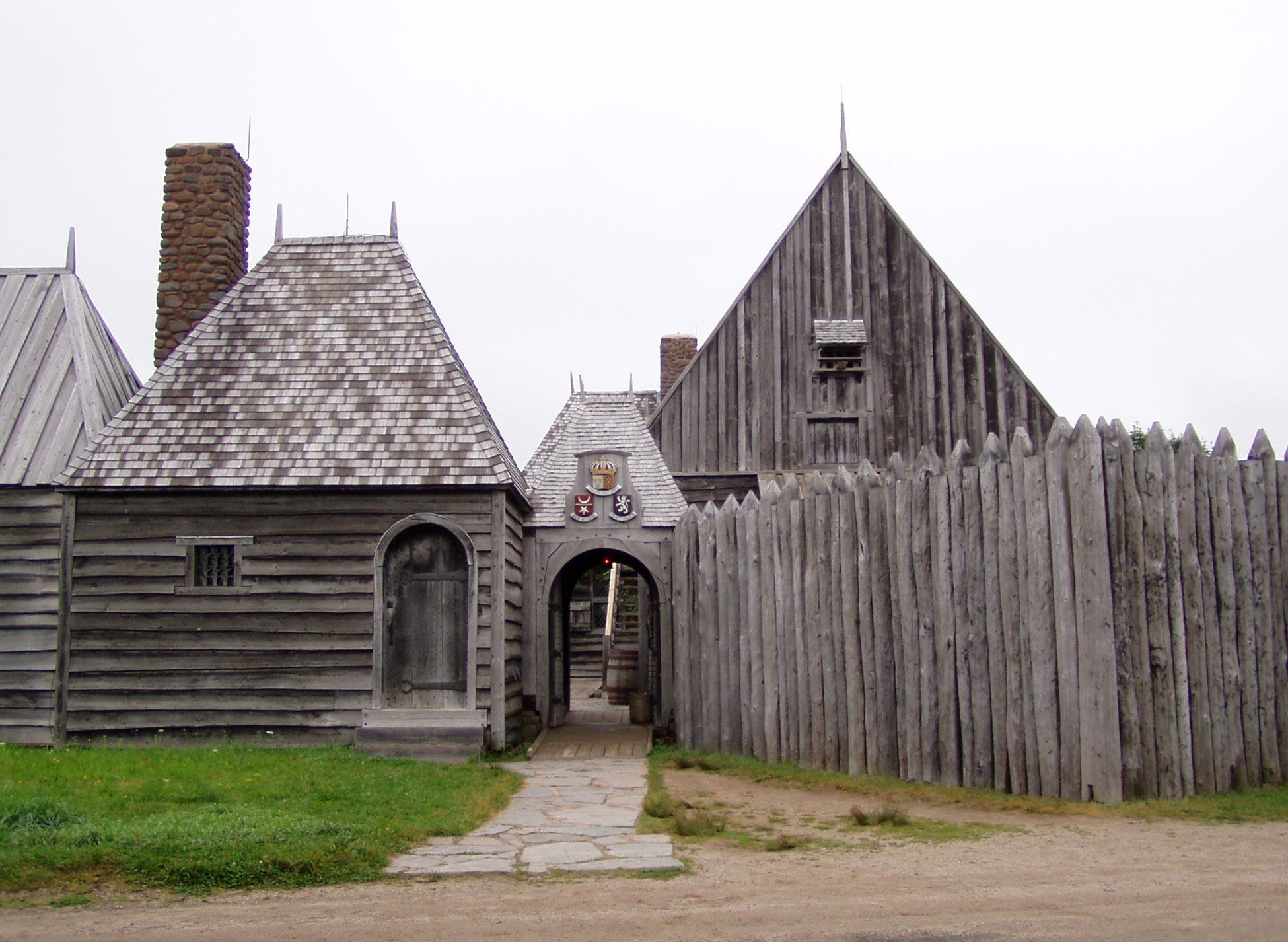
A Land of Many Stories
Long, long ago, the Mi'kmaq people lived here. Then, explorers from France arrived and built a town called Port Royal. Later, people from Scotland and England came, and they all wanted to call Nova Scotia their home. There were even some big arguments over who got to keep it! Eventually, it became part of Canada, and the city of Halifax grew to be super important.
What's It Like to Live There?
Nova Scotia is a pretty busy place, especially in its capital city, Halifax. It's the most popular province in Atlantic Canada, meaning lots of people choose to live there! It's not the biggest province in Canada, but it has more people living close together than many other places. The ocean is always nearby, so you can often smell the salty air!
Fun Things to Know!
Did you know Nova Scotia is one of the smallest provinces in Canada by land size? But it's packed with over 1 million people! The capital city, Halifax, is so big that almost half of all the people in Nova Scotia live there. It's a major city on the coast, almost as big as Vancouver!
Based on content from Wikipedia · Licensed under CC BY-SA 4.0