

The Amazing Neckar River!
Images
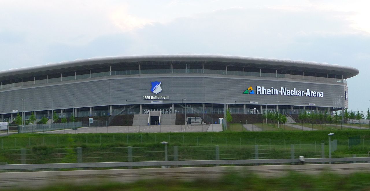
Rhein-Neckar-Arena Sinsheim


Geological Genesis and Hydrological Significance
The Neckar River originates at an elevation of 706 meters in the Schwarzwald-Baar-Kreis, a region characterized by its highland geography. Its course, spanning 362 kilometers, is a testament to the erosive power of water shaping the landscape of Baden-Württemberg and a small portion of Hesse. The river's hydrological profile is marked by an average discharge of 145 cubic meters per second into the Rhine at Mannheim, positioning it as the Rhine's fourth-largest tributary.
This substantial water contribution is managed through a series of 27 locks, enabling navigation for cargo ships over approximately 200 kilometers upstream to Plochingen. The river's gradient decreases significantly from its source to its confluence, influencing flow rates and sediment transport. The valley itself is a geological narrative, featuring fossiliferous Triassic limestones and Pleistocene travertine deposits, particularly evident in the scenic stretches between Stuttgart and Lauffen, where the river has carved steep-sided valleys.
Historical Evolution and Cultural Landscape
The Neckar valley has been a cradle of human settlement and activity for millennia. Traditionally, its fertile alluvial plains have supported intensive agriculture, while the steep valley slopes were ingeniously adapted for viticulture, a practice that continues to define the region's cultural and economic identity. The presence of numerous castles, such as Hornberg Castle and Guttenberg Castle, along the Odenwald hillsides, speaks to the river's strategic importance throughout history, serving as a vital transport route and a defensive corridor.
These historical structures, alongside decommissioned nuclear power plants like Obrigheim and Neckarwestheim, illustrate a complex layering of human intervention and adaptation within the river's ecosystem. The valley's transformation from a natural waterway to a managed industrial and transportation artery reflects centuries of evolving human needs and technological capabilities.
Economic Engine and Industrial Corridor
The Neckar plays a pivotal role in the economy of Baden-Württemberg, particularly in the densely populated and heavily industrialized corridor between Plochingen and Stuttgart. This region is a hub for numerous prominent companies, many of which leverage the river's navigability for the efficient transport of raw materials and finished goods. The upstream extension of navigation to Plochingen, at the confluence with the Fils, is crucial for connecting inland industries to the broader European waterway network via the Rhine.
Beyond industrial transport, the fertile lands continue to support agriculture and viticulture, contributing to the region's diverse economic base. The river's economic significance is thus multifaceted, encompassing logistics, manufacturing, and traditional land use.
Urban Development and Environmental Considerations
The Neckar valley is characterized by a dense network of urban centers, including major cities like Stuttgart, Heilbronn, and Heidelberg, which have developed along its course. This high degree of urbanization and industrialization presents ongoing environmental challenges, including water quality management and habitat preservation. The river's transformation into a navigable waterway has altered its natural flow dynamics and ecological characteristics.
However, efforts towards environmental protection and sustainable management are crucial for balancing economic development with ecological integrity. The scenic beauty of the meandering valley, juxtaposed with industrial infrastructure and historical sites, creates a unique and complex human-environment system that continues to evolve.
Education and Research along the Neckar
The Neckar River flows through regions renowned for their academic and research institutions. Cities like Heidelberg, Tübingen, and Stuttgart host world-class universities and research centers that often engage with the river's geography, ecology, and history. Academic disciplines such as hydrology, environmental science, urban planning, and history frequently utilize the Neckar valley as a living laboratory.
Research might focus on the river's hydrological patterns, the impact of industrialization on water quality, the preservation of historical landscapes like vineyards and castles, or the socio-economic development of the riverine communities. Educational initiatives often highlight the river's importance as a natural resource, a historical artery, and a vital component of the regional identity, fostering a deeper understanding and appreciation among students and the public.
Go deeper
Frequently Asked Questions
What is the Neckar River?+
Where does the Neckar River start?+
How do boats travel on the Neckar?+
Why are there castles along the Neckar?+
What kinds of plants grow near the Neckar?+
Based on content from Wikipedia · Licensed under CC BY-SA 4.0