
Martin Waldseemüller
Images

500JahreWeltkarteBogen


Key Facts
The Mapmaker Who Drew the World!
Once upon a time, the world map looked very different. People didn't know about big lands like North and South America! Martin Waldseemüller was a super smart mapmaker from Germany who helped change that. He loved drawing maps and studying the world. He even had a secret nickname, Hylacomylus, which sounds like a cool superhero name!
Giving a Continent a Name!
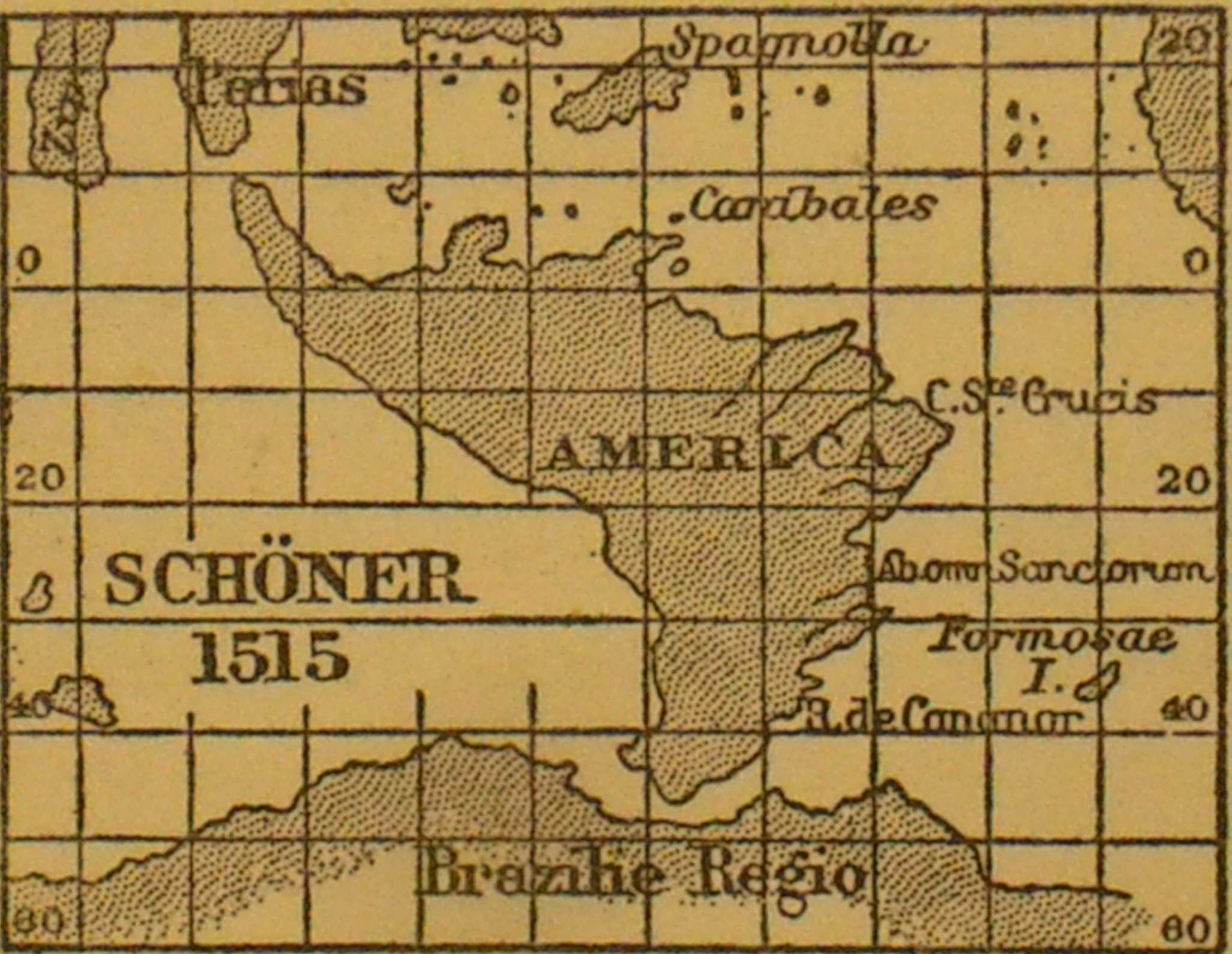
Martin and his friend Matthias Ringmann looked at maps made by an explorer named Amerigo Vespucci. Amerigo had sailed to new lands and described them. Martin thought these new lands should be named after Amerigo! So, on a special map they made in 1507, they wrote 'America' for the first time. This map was like a giant puzzle piece showing a whole new part of our planet!
More Than Just One Map!
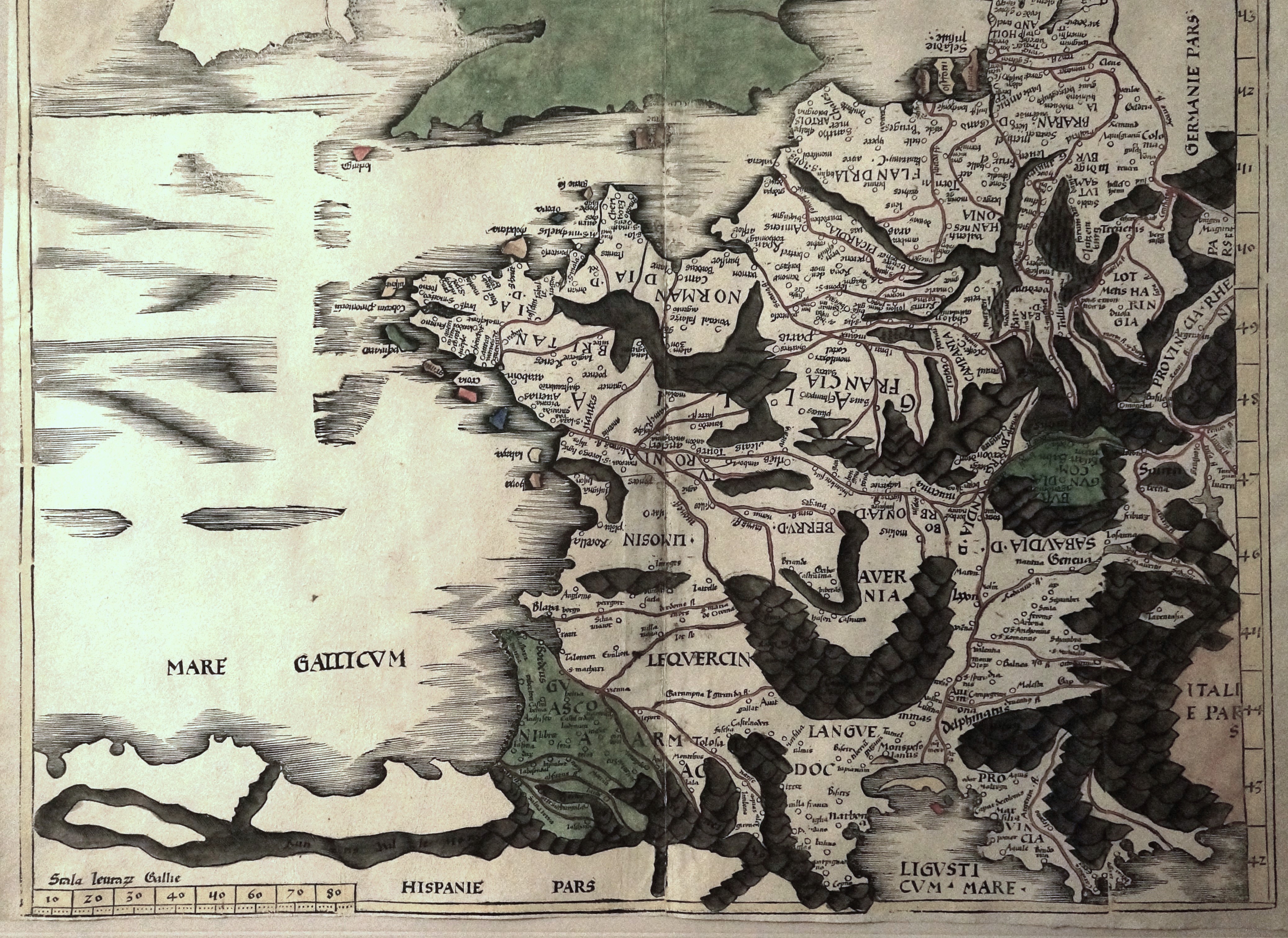
Martin didn't just make one amazing map. He was also the first person to make a printed globe, like the round balls we use to learn about Earth! He also created a big printed wall map of Europe. And guess what? He even helped make the first-ever modern atlas, which is like a book full of maps. His maps were so good, other mapmakers copied them!
Why Maps Matter So Much!
Before Martin's maps, people didn't know how big the world really was. His maps showed that the Americas were separate lands, not just part of Asia. This helped everyone understand our planet better. Imagine trying to find your way without a map today! Martin's work was super important for explorers and for all of us learning about where we live.
Based on content from Wikipedia · Licensed under CC BY-SA 4.0