

Kiribati
Images
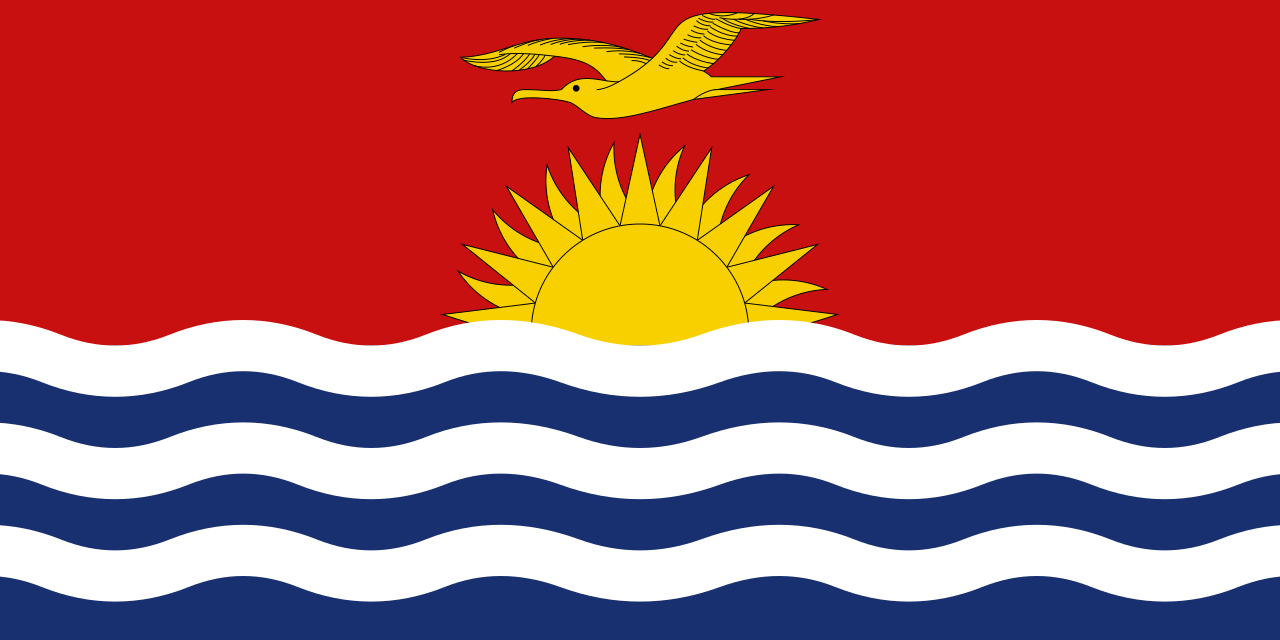
Kiribati
Opens Google Maps in new tab
Geographic Isolation and Strategic Location
The Republic of Kiribati is an island nation situated in the central Pacific Ocean, comprising 33 islands, including 32 atolls and one uplifted coral island, Banaba. Its landmass of approximately 811 square kilometers is dispersed across an immense maritime territory of over 3.4 million square kilometers. This vast oceanic spread positions Kiribati strategically, straddling both the equator and the 180th meridian.
This unique geographical placement has significant implications, most notably its role in the International Date Line. The line deviates eastward to encompass Kiribati, placing its easternmost islands, the southern Line Islands, in the world's earliest time zone, UTC+14. This means they are the first to greet each new day, a distinction with both symbolic and practical consequences.
The country's isolation, while preserving unique ecosystems and cultures, also presents considerable logistical and economic challenges for development and connectivity.
A History of Colonialism, Independence, and Resource Exploitation
Kiribati's history is marked by periods of indigenous settlement, colonial rule, and eventual independence. The islands were a British protectorate and later part of the Gilbert and Ellice Islands colony before gaining full independence in 1979. A significant chapter in its economic history involved the export of phosphate, a valuable mineral derived from accumulated guano deposits, primarily from Banaba.
However, these phosphate reserves were depleted, and mining ceased, leaving Banaba environmentally scarred and its population displaced. This historical reliance on a single, non-renewable resource highlights the vulnerability of island economies. Post-independence, Kiribati has sought to diversify its economy, with fisheries and copra exports becoming key sectors, though the nation remains classified as one of the least developed countries globally, heavily dependent on international aid.
Socio-Economic Landscape and Cultural Resilience
With a population exceeding 119,000, more than half of whom reside on the capital atoll of Tarawa, Kiribati faces challenges related to population density and resource management. The capital itself is a collection of islets linked by causeways, representing a significant portion of the nation's habitable land. The I-Kiribati people possess a rich cultural heritage, deeply intertwined with maritime traditions and a strong sense of community.
The Gilbertese language is widely spoken, alongside English, which serves as the official language for government and education. Despite economic constraints and the pressures of modernization, cultural practices, including traditional navigation, storytelling, and social structures, remain vital. The economy is largely driven by subsistence fishing, copra production, and remittances, supplemented by international development assistance and revenue from fishing licenses.
The Existential Threat of Climate Change and Global Engagement
Kiribati is acutely vulnerable to the impacts of climate change, particularly sea-level rise. Its low-lying atolls are at high risk of inundation, coastal erosion, and saltwater intrusion into freshwater sources, threatening habitability and food security. This existential threat has placed climate action at the forefront of Kiribati's foreign policy.
As a member of the Alliance of Small Island States (AOSIS), Kiribati actively advocates for ambitious global emissions reductions and climate adaptation funding. The nation's struggle is a stark illustration of climate injustice, where developing nations bear disproportionate burdens from the actions of industrialized countries. Addressing these challenges requires a multi-faceted approach, including international cooperation, sustainable development strategies, and potentially, innovative solutions for adaptation and migration.
Governance, Development, and Future Prospects
The Republic of Kiribati operates under a parliamentary republic system, with a president serving as both head of state and government. The government is committed to national development, balancing economic growth with environmental sustainability and social well-being. Kiribati is a member of various international organizations, including the United Nations, the Commonwealth of Nations, and the Pacific Community, underscoring its engagement in global affairs.
Education is a key pillar of its development strategy, aiming to equip its citizens with the skills needed to navigate a changing world, from marine science and resource management to information technology. The future of Kiribati is inextricably linked to global climate action and the international community's commitment to supporting vulnerable island nations in their efforts to adapt and survive.
Go deeper
Frequently Asked Questions
What is Kiribati and where is it located?+
Why are Kiribati’s eastern islands the first to see a new day?+
How do people in Kiribati earn their living and food?+
What is the biggest danger to Kiribati right now?+
What happened to the phosphate mines in Banaba?+
Based on content from Wikipedia · Licensed under CC BY-SA 4.0